


DENVER – The sunny, dry conditions early Wednesday were turning colder and wetter across the Front Range of Colorado on Wednesday afternoon – and some of that moisture was beginning to turn to snow.
Denver and the immediate metro area are under a winter weather advisory, while areas to the south, toward the Palmer Divide and including the foothills southwest of Denver, are under a winter storm warning.
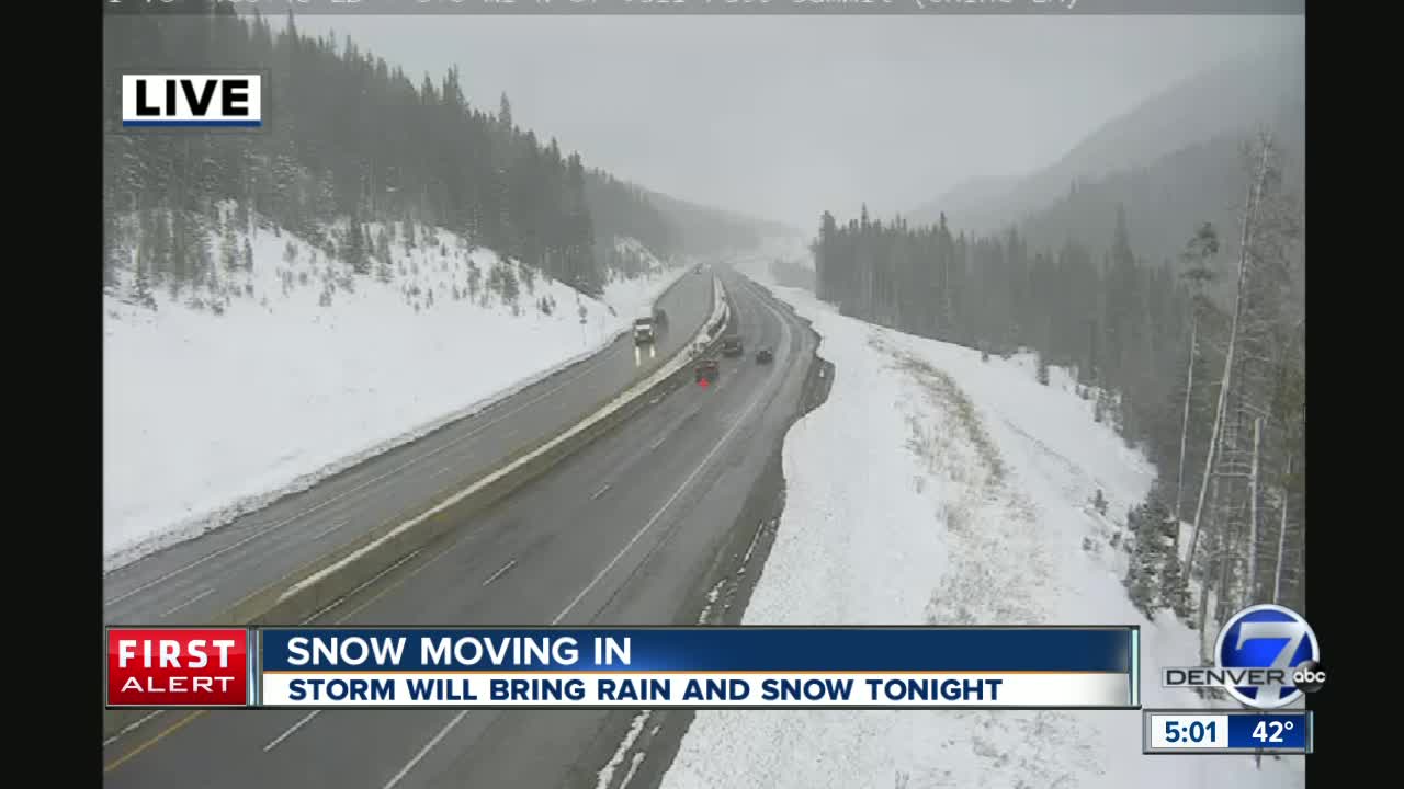
MORE: Full forecast | Live blog | Weather page | Radars | Weather alerts| Traffic conditions
Here's what you can expect as we head into the evening:
When will the snow hit?
A surge of cold air from Wyoming reached the Denver area this afternoon, as temperatures dropped into the low 40s.
We should see rain at first. At 6,000 feet and above, road should become icy and snowy around 4-5 p.m., according to the latest forecast discussion from the National Weather Service. The heaviest snow in the Denver area should begin after 7 p.m. or 8 p.m.
The snow could continue overnight in the Denver area, likely ending early Thursday morning, though temperatures should drop to around 20 degrees.
How much will we get?
The Weather Service's latest expected snowfall totals were slightly higher than earlier this week. The forecast calls for 2-3 inches in Denver and 3-4 inches in Boulder.
Areas to the south and west will see higher amounts. Conifer is expected to see 8-12 inches, and Castle Rock is now expected to see 6-8 inches. The higher snowfall totals should continue along Interstate 25 south of Denver, with Colorado Springs also expected to see 6-8 inches.
Some areas near the Palmer Divide could see as much as a foot of snow. In the mountains, Breckenridge and surrounding areas could see an expected to see about five inches of snow.
How will this affect the commute?
In Denver, snow could accumulate this evening and make road slushy as temperatures drop. The slush could then re-freeze overnight, but the Weather Service says the morning commute looks "mostly okay." The trouble areas should be across Douglas County, and the Jefferson and Boulder County foothills.
The snowstorm is expected to heavily impact traffic along the I-25 Gap project, which runs 18 miles from Castle Rock to Monument, where as much as seven inches could fall.
Closures of the highway are possible, and the Colorado Department of Transportation is urging motorists to avoid the area from around 8 p.m. Wednesday to early Thursday morning.
Also affecting motorists during storm will be blowing snow, with wind gusts up to 50 mph at higher elevations.
