


The National Weather Service said substantially drier air has moved over the burn areas today so flash flooding is not expected although it can't be completely ruled out in the Cameron Peak and Williams Fork burn areas.
READ MORE: Current forecast | 24/7 weather radars | Road closures
Denver7 is keeping track of weather updates and road closures this weekend.
See live updates below.
Saturday, July 24
5:51 p.m. | Both directions of Interstate 70 through Glenwood Canyon reopened -- again -- Saturday after about a two-hour safety closure due to flash flood concerns. The interstate through canyon had just reopened earlier in the day from a two-day closure when a flash flood warning triggered another closure.
3:57 p.m. | Both directions of Interstate 70 through Glenwood Canyon reopened Saturday after two days of closure due to flooding. But just a couple hours later, that stretch of I-70 through the canyon closed again due to a flash flood warning. I-70 is closed between Exit 111 (West Rifle) and Exit 133 (Dotsero) due to forecasted precipitation and potential debris flow over the Grizzly Creek burn scar.
3:34 p.m. | U.S. 6 over Loveland Pass now is expected to reopen to traffic Sunday evening. A mudslide late Friday covered the road near A-Basin. Originally, the highway was anticipated to open Saturday afternoon. However, due to the amount of debris and mud flow, another day of clean-up is required. Alternate route is Interstate 70/Eisenhower Tunnel. Hazmat vehicles are being escorted through the tunnel at the top of the hour so regular traffic will be stopped to allow for this operation to take place. Expect to see traffic stops at both portals of the tunnel each hour.
1:32 p.m. | Both directions of Interstate 70 through Glenwood Canyon reopened Saturday after two days of closure due to flooding. The interstate was closed around 4:39 p.m. Thursday. The highway reopened around around 1:15 p.m. Saturday. There are several locations throughout the canyon that are down to one lane. A flash flood watch is in effect in the area. Story: https://bit.ly/3zwhKYT
12:38 p.m. | Colorado Highway 133 is closed in both directions at mile marker 50 near Hayes Creek Falls due to a mud and rock slide. Expected length of the closure is unknown.
10:27 a.m. | The National Weather Service said substantially drier air has moved over the burn areas today so flash flooding is not expected although it can't be completely ruled out in the Cameron Peak and Williams Fork burn areas.
Substantially drier air has moved over the burn areas today so flash flooding is not expected although it can't be completely ruled out in the Cameron Peak and Williams Fork burn areas. #COwx pic.twitter.com/fb54I5QEB8
— NWS Boulder (@NWSBoulder) July 24, 2021
10:13 a.m. | CO 125 in Grand County reopened after mudslides closed the highway for three days.
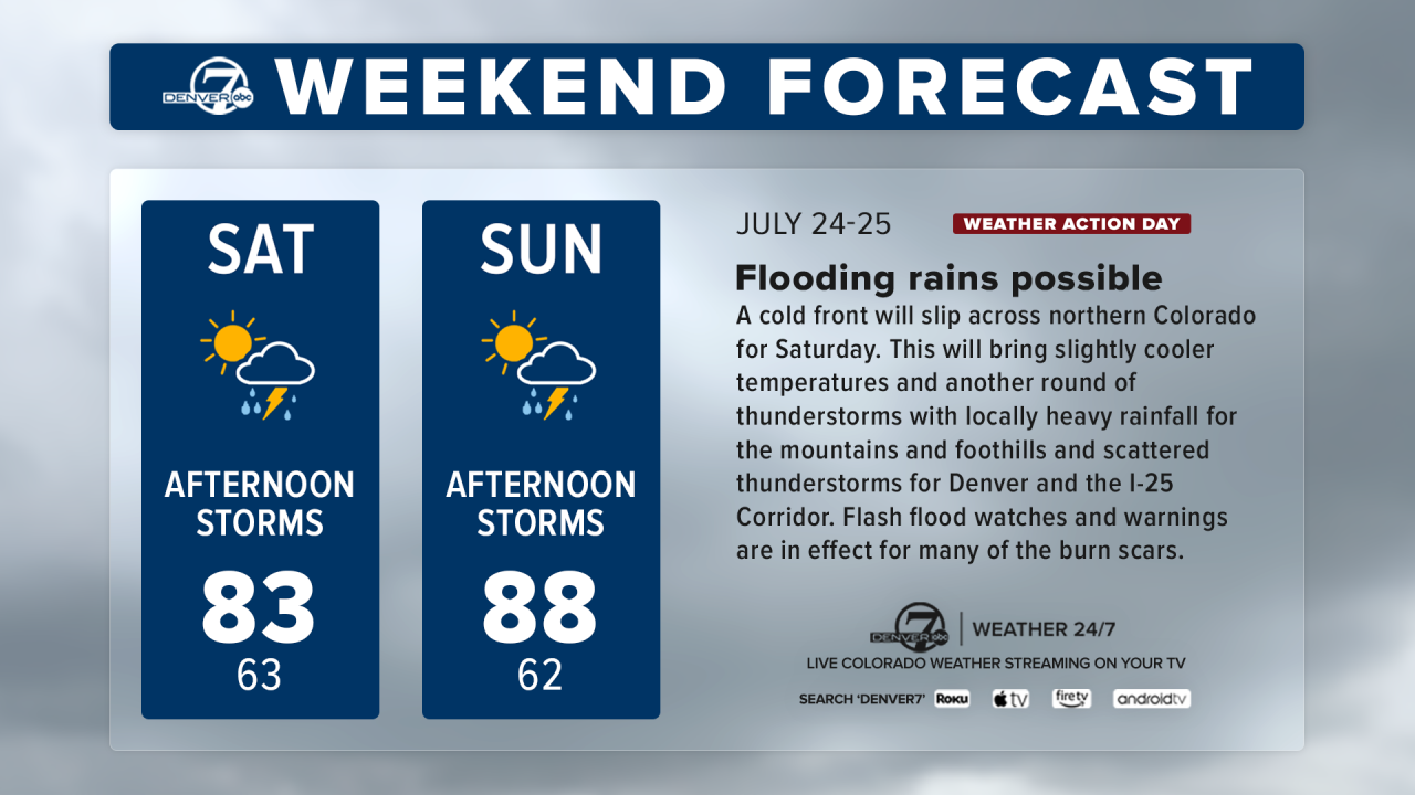
9:39 a.m. | Flash Flood Watches and Warnings are in effect for many of the burn scars as spots heavy rain will likely create local flash flooding. A Denver7 Weather Action Day will be in effect this weekend due to the likelihood of heavy rain in the mountains.
Friday, July 23
9 p.m. | US 50 is back open in both directions at Little Cimarron following mudslide clean-up.
8:44 p.m. | US 50 is closed in both directions at Little Cimarron due to a mudslide, CDOT says. There is no estimated time for the reopening of the highway.
5:20 p.m. | Mount Evans Laboratory records 2.58 inches of rain in one hour.
The National Weather Service said heavier rain fell just northwest of that area, near Chief/Squaw Mountains and CO 103. The NWS says rain continues to fall over the burned area.
An automated gauge by the Mount Evans Laboratory recorded 2.58 inches of rain in one hour! Heavier rain fell just northwest of that area, near Chief/Squaw Mountains and CO-103. Rain continues to fall across the warned area. #cowx https://t.co/CYsKwW9o4j
— NWS Boulder (@NWSBoulder) July 23, 2021
5:06 p.m. | Multiple flash flood warnings are now in effect across the state, according to the National Weather Service.
In southeastern Clear Creek County and southeastern Gilpin County, a flash flood warning is in effect until 6:45 p.m. after more than 1 ½ inches of rain have already fallen, with another half-inch to inch expected.
In south central Grand County, including the Williams Fork burn scar area, a flash flood warning is in effect until 7 p.m. Around 1 inch of rain is expected in the storm.
A flash flood warning is in effect until 8 p.m. in central Chaffee County, where another 1 to 2o inches is expected over an hour’s time.
A flash flood warning is in effect until 6:45 p.m. for the Decker burn scar, where up to 2 inches of rain are expected.
4:26 p.m. | Colorado Department of Transportation officials would not give an estimated time of reopening I-70 through Glenwood Canyon, saying there is still debris jammed up near both the westbound and eastbound lanes.
The westbound might potentially be the first side to open, but the debris will have to be cleared from a tunnel and the roadway, CDOT Transportation Director Mike Goolsby said. On the eastbound side, water is flowing up against the wall and feet of the interstate after the debris created a dam, and officials will need to divert that water away and determine if the interstate has suffered any support damage before any eastbound lanes might reopen. The river was flooding the bike path and into parts of the highway, officials said.
Crews have been working around the clock to assess the damage in the river after the latest mudslides and to determine how to clear debris in order to get the river flowing normally again and to get the interstate back open.
3:35 p.m. | The Summit County Sheriff’s Office says flash flooding was happening in 10 Mile Canyon along the bike path west of Officer’s Gulch — north of Copper Mountain — that had brought down loads of rocks and mud. The bike path has been closed.
Flash flooding is occurring in the 10 Mile Canyon along the bike path west of Officer's Gulch. THE BIKE PATH IS NOW CLOSED.#SummitCountyColorado #FlashFlood #SafetyFirst pic.twitter.com/CYGoetHLfK
— SCSOPIO (@SummitSheriffCO) July 23, 2021
11:36 a.m. | There is a “significant" risk of flash flooding on the Cameron Peak Fire burn scar Friday, and flash flood watches are in effect from 11 a.m. through the evening across much of the Colorado High Country.
The National Weather Service said rainfall rates could reach an inch to an inch and a half per hour Friday afternoon and that several rounds of rainfall are possible.
The flash flood watches are in effect until 9 p.m. Friday for the time being, with the highest risk of flash flooding over the Cameron Peak, East Troublesome, Williams Fork and Calwood burn scars.
The significant flash flood threat for the Cameron Peak burn scar will be in effect from roughly 2 p.m. through 5 p.m., according to the National Weather Service. The threat for the East Troublesome, Calwood and Williams Fork burn scars is “elevated” for most of the late morning into the evening.
The best chance for storms will be between 11 a.m. and 6 p.m., the NWS said.
In southwestern Colorado, a flash flood watch is in effect from noon through this evening for the San Juan Mountains, the Colorado River Basin, the Elk Mountains, Sawatch Mountains, Mosquito Range and Flat Tops, including the Grizzly Creek Fire burn scar.
Click here to read the full story on the flash flood watches.
10:01 a.m. | The National Weather Service issued a flash flood watch in Larimer County from 11 a.m. through the evening. Slow-moving thunderstorms will be capable of producing heavy rainfall, especially in the Cameron Peak, East Troublesome, Calwood and Williams Fork burn areas.
9:20 a.m. | There is a significant threat of flash flooding at Colorado's burn scars today. NWS recommends having a way to receive warnings and evacuate if you're near the burn scars.
There is a significant threat of flash flooding for the Cameron Peak burn area, with an elevated threat for flash flooding in the rest of the burn areas today. Please have a way to receive warnings and have evacuation plans if you will be in or near a burn area today. #cowx pic.twitter.com/xrIOOVb0ge
— NWS Boulder (@NWSBoulder) July 23, 2021
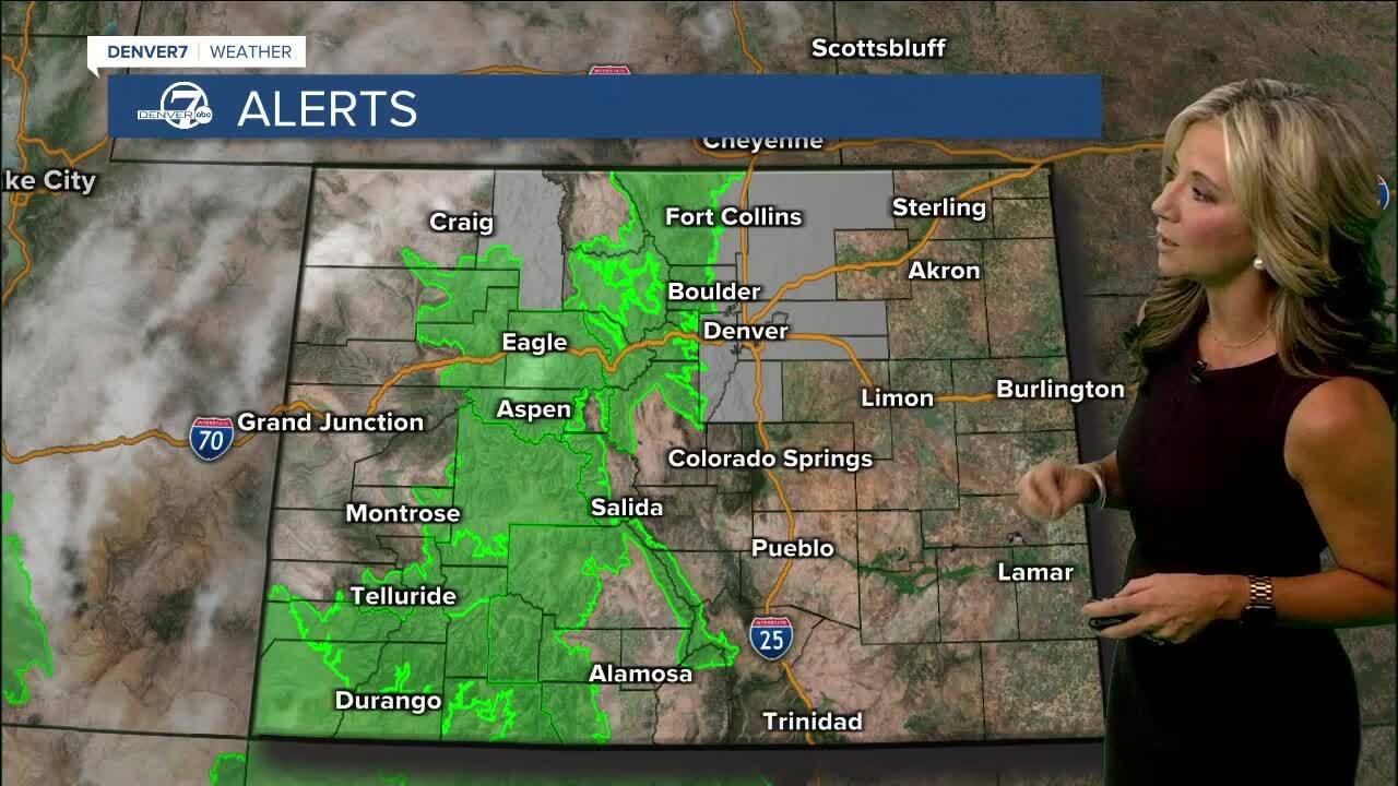
5:41 a.m. | The National Weather Service out of Boulder says substantial monsoonal moisture will generate storms that could create flash flooding over large areas in central and western Colorado. This includes the Cameron Peak, East Troublesome, Calwood and Williams Fork burn areas. A Flash Flood Watch is in effect for this area from 11 a.m. to 9 p.m. The green area below shows where the watch covers.
5:33 a.m. | The National Weather Service out of Pueblo issued a Flash Flood Watch from noon Friday through the evening for the Continental Divide and northern Sangre de Cristo Mountains due to storms. The Decker Fire burn scar appears to be most at risk of flash flooding.
5 a.m. | Colorado Highway 125 remains closed due to another mudslide across the roadway between Trail Creek and County Road 54, which is between Granby and Rand.
5 a.m. | Interstate 70 through Glenwood Springs remains closed in both directions Friday morning after CDOT issued a closure Thursday afternoon due to a Flash Flood Warning. The National Weather Service issued a flash flood warning for the Grizzly Creek Fire burn scar area, just above the canyon, until further notice.
