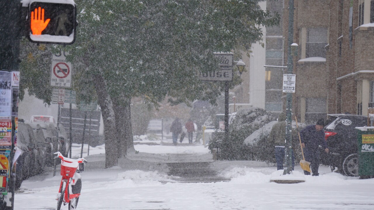

DENVER – The weather went from warm and sunny on Saturday to cold and wet by Sunday morning, with snow on the way for the Front Range, including the Denver metro area.
A cold front moved into the Colorado on Saturday night, bringing gusty winds and dropping temperatures into the low 30s and upper 20s. We initially expected to see some snow late Saturday night, but the latest forecast discussion from the National Weather Service in Boulder is called for light rain or freezing drizzle overnight.
By Sunday morning, that precipitation was expected to turn to snow.
Watch: Live cameras from across the Denver area:
Snow timeline
We could see snow throughout the day on Sunday, with the heaviest bands on Sunday afternoon and night and tapering off through Monday, according to the NWS. We'll see the snow move southeast through the Denver area, and temperatures aren't expected to get above freezing.
On Sunday in Denver, from 9 a.m. to 4 p.m., expect 1-3 inches of snow to fall. From 4 p.m. to 11 p.m., an additional 3-5 inches of snow is likely to fall in Denver.
The forecast is calling for the highest snowfall amounts in the higher-elevation areas and along the Interstate 25 corridor.
On Monday, expect light snowfall all day in Denver, with 1-3 inches forecasted to accumulate.
MORE | "Not impossible" we Denver's coldest October temperature ever this week, NWS says
MORE | CDOT urges drivers to avoid travel, especially in the mountains, as winter storm moves in
On Tuesday, another front is expected to move across the Front Range, keeping temperatures in the 20s and bringing another round of heavy snow beginning Tuesday afternoon and into Wednesday.
We won't see a warmup – if you consider highs in the 30s a warmup -- until Thursday, but that's also expected to be our first dry day of the week.
MORE | First Alert Action Day: Nice and sunny Saturday, then cold and snowy Sunday
Expected snowfall
The latest snowfall projections from the National Weather Service on Sunday were an expected 6 inches in Denver through Monday evening.
Expected Snowfall Amounts Today through Monday. #cowx #cosnow pic.twitter.com/iOJyNPxUg1
— NWS Boulder (@NWSBoulder) October 27, 2019
Castle Rock is expected to see 8 inches through Monday, Boulder is expected to see 10 inches, and Colorado Springs is expected to see 7 inches.
The heaviest snow is still projected in the Estes Park area, where 10 inches were expected to fall. Those projections are only through Monday evening. Another round of snow is expected to pass through the Front Range beginning Tuesday.
MORE: | Radar | Live streams | Traffic
MORE | Driving in the Colorado snow: How to prepare your car for winter weather
