


DENVER — The headwaters of the Colorado River are just a small stream in the mountains of northern Colorado. The water comes from a lake on the Poudre Pass in Rocky Mountain National Park and then flows out to Grand Lake and Lake Granby.
It's in Granby where much of the water gets diverted. Instead of flowing downstream, it gets pumped through a series of tunnels to homes and businesses on the eastern side of the mountains. In fact, even though the Colorado River only flows on the western side of the Continental Divide, about half of the water used in the Denver metro area comes from the river.
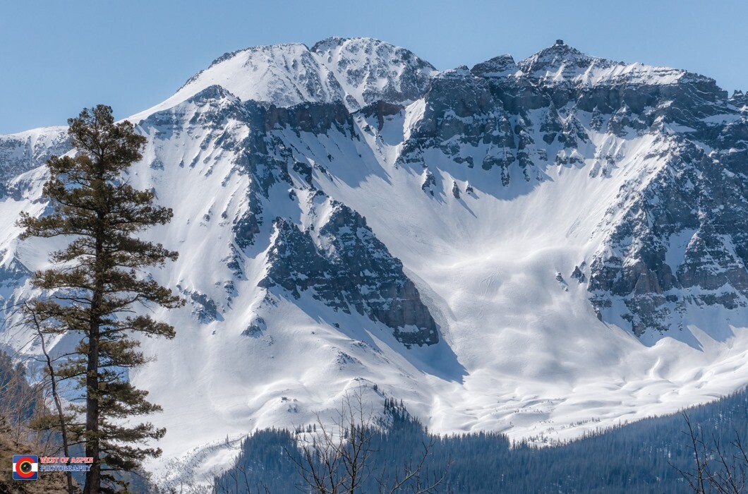
In the winter, Colorado's beautiful snow-covered mountains are more than just a magnet for skiers and backcountry hikers. They're a giant storage facility for water.
The water from that snowpack flows into the Colorado all along the river’s course. A lot of that makes its way into the Colorado as the river heads southwest from Granby to Glenwood Springs. Once the water leaves Glenwood, it is then joined by the waters of the Roaring Fork. From that point, it's about 90 miles to Grand Junction and the Utah borderThe Utah portion of the river course starts on the Colorado Plateau before heading to Moab, where the water sweeps by Arches and Canyonlands national parks – both amazing landscapes eroded into canyons and mesas by the Colorado and Green rivers.
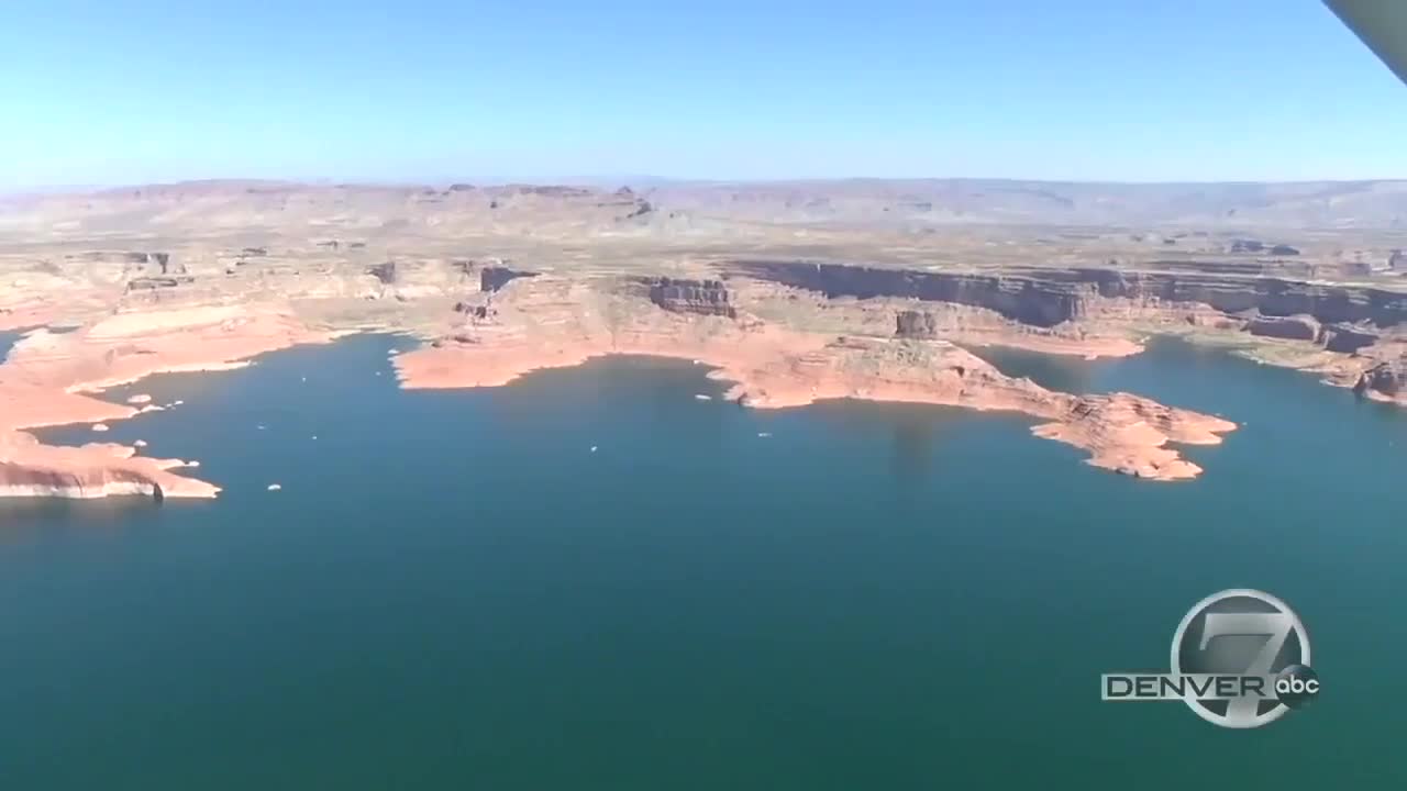
After those rivers combine, they head to Lake Powell, the lake formed behind the enormous Glen Canyon Dam. Lake Powell is 189 miles long with more than 1,900 miles of shoreline alone, storing water to be used in parts of the five states that make up the upper basin of the Colorado River: Arizona, Colorado, New Mexico, Utah and Wyoming, where the Green River starts before joining the Colorado.

Then-National Park Service pilot Nick Herring was our tour guide as we flew over the lake in 2017.
“The lake is probably the largest economic generator in this part of the country,” Herring said. “The boating and all the infrastructure to support boating and recreation is pretty significant.”
“It's absolutely that in the San Juan River, the two major tributaries. Colorado being number one for sure,” Herring said. “So from the time the [Glen Canyon] dam was built to now, I'm not sure early on, they really recognized what the potential was for the growth that it has spurred over the years.”
Related | From wildfires to water supply: The threats of western drought, and the climate change connection
Fishing and boating are just some of the activities that attract more than 3 million visitors to Lake Powell every year.
But Glen Canyon was not the first choice for this dam and reservoir.
Glen Canyon National Recreation Area Superintendent Billy Shott says the first plan would have put a dam along the Green River in Echo Canyon in Colorado's Dinosaur National Monument, creating a giant reservoir by filling the Green and the Yampa River valleys.
“There was such a well-organized and political fight to keep that from getting washed under,” Shott said. “It really kind of activated a lot of different well-organized movements in the West and starting to look at how land is used and especially how water is used.”
After Glen Canyon Dam, water heads to a critical point: Lee’s Ferry, just downstream.
This is the spot where the river is divided into two basins for water rights purposes. The upper basin includes parts of Utah, Arizona, New Mexico, Colorado and Wyoming. There's also the lower basin that includes other parts of Utah, Arizona and New Mexico, as well as parts of Nevada and California.

Water rights laws regarding the Colorado River are as complicated as they are old. In fact, the Colorado River Compact that divides the river into these two basins was signed into law in 1922, – making it 99 years old – but every state is guaranteed a certain amount of water.

Once the river leaves Glen Canyon and makes its way through Lee's Ferry, it begins to wind its way through the 217-mile-long Grand Canyon. It's taken the Colorado River some 6 million years to carve the mile-deep canyon in northern Arizona.

After the Grand Canyon, the Colorado stops at the Hoover Dam on Lake Mead. When it's at capacity, it's one of the largest reservoirs in the nation. But the region has battled drought conditions since the turn of the century – and those conditions have turned extreme in 2021, leading to Lake Mead being 161 feet below full pool as of July 12.
“This lake is really a lifeline. In fact, water is the lifeblood of the southwest,” said Rose Davis, who was with the Bureau of Reclamation when we spoke to her on our tour of the region. “And Hoover Dam and its regulating dams downstream make sure that those deliveries get to the right people that have water right allotments.”
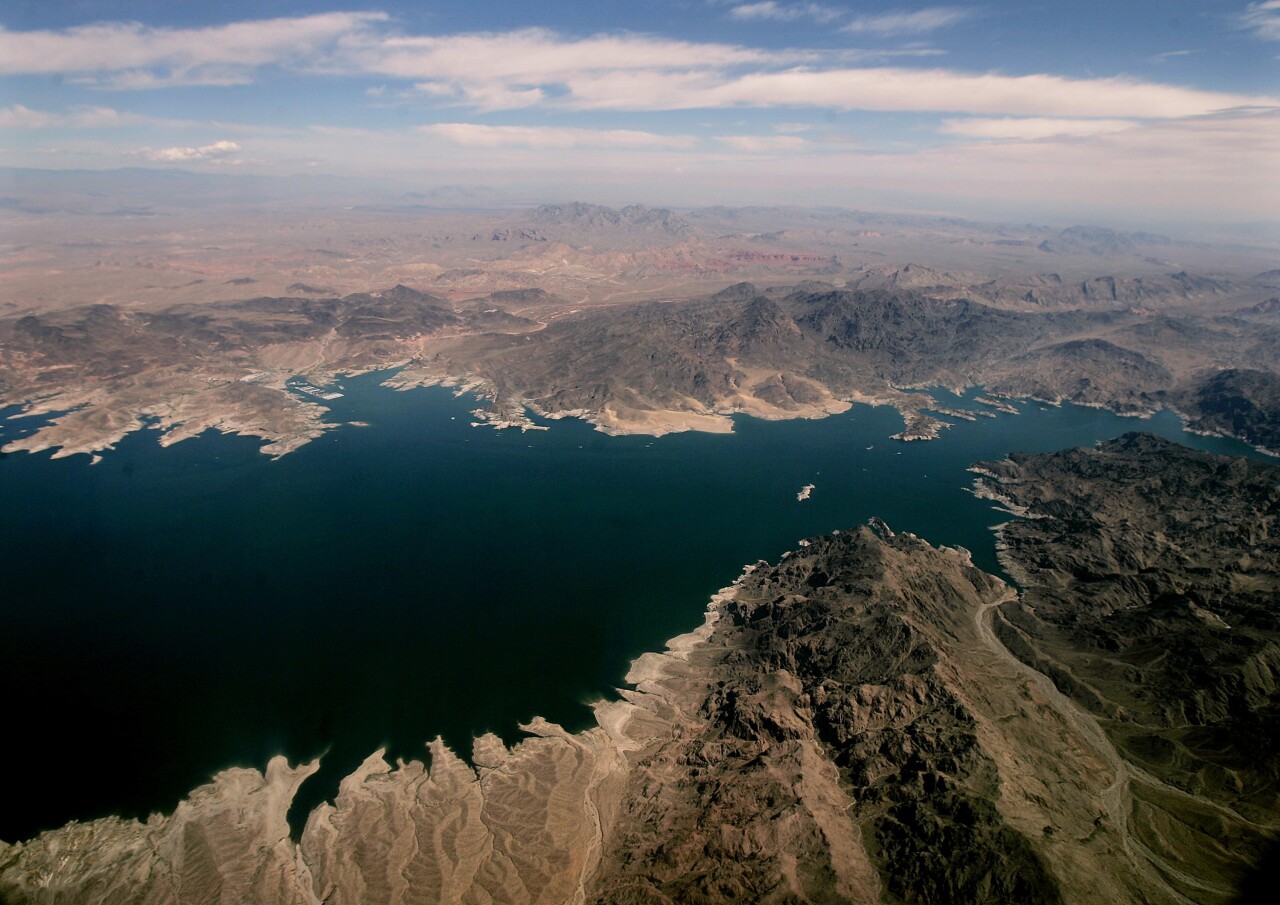
Hoover Dam serves water to states in the lower basin of the Colorado, which includes parts of California, Arizona, New Mexico and Nevada, including Las Vegas.
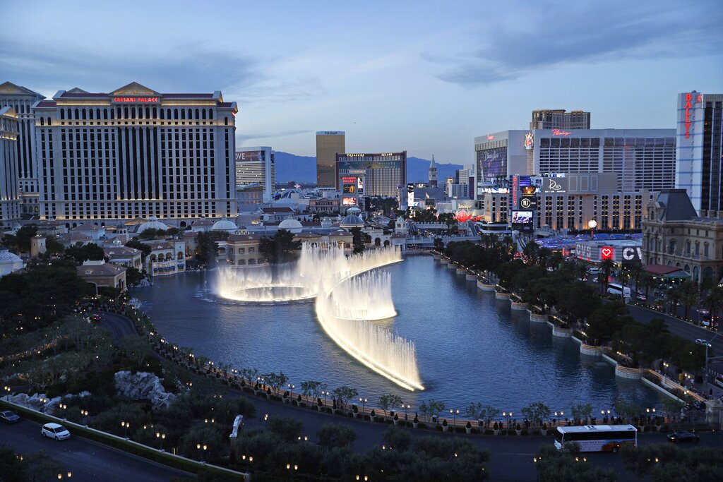
Ninety percent of the water used in Las Vegas comes from Lake Mead, which is about an hour away from the city. It may be hard for visitors to believe, but most of that water is used for residential areas, not hotels and casinos.
All the hotels in Las Vegas are good at conservation. Just about all the water used at hotels, like the Bellagio, is captured, treated and then reused or sent back to Lake Mead.
“They have cleaned it up so much that not only do they recycle and reuse for Las Vegas purposes and homeowners in surrounding areas, but they can put some back in Lake Mead,” Davis said.
With water levels low and more people moving to the area, conservation is on everyone's mind.
“I think Lake Mead will always be here. I think there isn't a chance that Lake Mead is ever going to go away,” Davis said.
“I think we continue to face challenges in water allocation. We continue to face challenges with climate change. We're doing a lot of studying about how that's altered the way the snow has come and the rains have come, but I don't think Lake Mead is going anywhere.”

From the Hoover Dam, the Colorado River turns south and heads through the gambling town of Laughlin, Nevada; Lake Havasu, Arizona; and then on to the town of Yuma near the borders of Arizona, California and Mexico.
More coverage | Western U.S. drought
