
DENVER – It was during the State of the State address in 2015 that Gov. John Hickenlooper unveiled a grand idea: In the course of a generation, every Coloradan should live within ten miles of a park, trail or vibrant green space.
The idea would become the Colorado the Beautiful Project, an initiative with the intent to get Coloradans interested in healthy outdoor activity. After six public meetings and nearly 200 recommendations, 16 trail pathways have been chosen and planned to get Coloradans out into nature.
The following information is courtesy of the Colorado Department of Natural Resources (DNR).
1. Colorado Front Range Trail
The vision of the Colorado Front Range Trail (CFRT) is to create a trail extending from the borders of Wyoming to New Mexico along the Front Range. While great portions of the nearly 900-mile trail are done, almost two-thirds of the trail remains to be built.
Information: Colorado DNR.

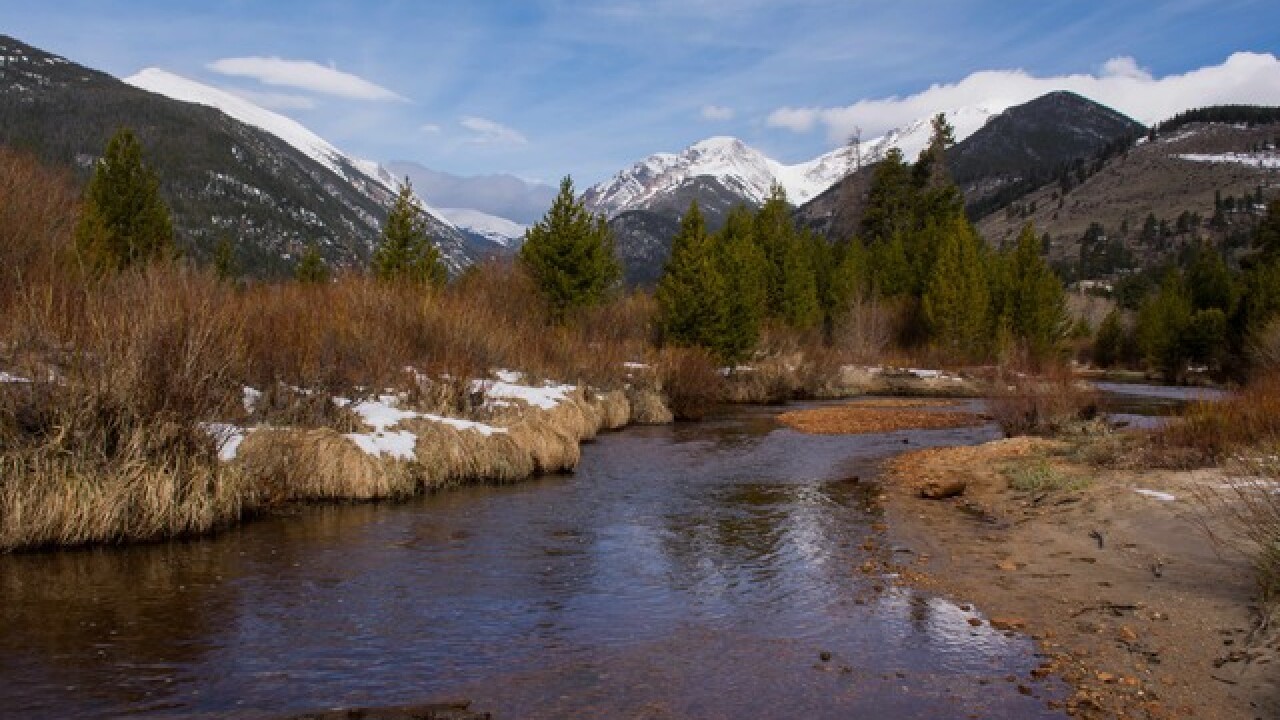
2. Lower Valley Trail
The Lower Valley Trail will go through the Colorado River Valley starting in Glenwood Springs and connect with New Castle, Silt, Rifle, and Parachute, DNR officials said. Once finished, the paved trail will end at the Mesa County line and also will connect to the existing Rio Grande and Glenwood Canyon Trails beginning in Glenwood Springs, according to DNR officials.
Information: Colorado DNR.

3. Rocky Mountain Greenway
The vision of the Rocky Mountain Greenway is to connect the Rocky Mountain National Wildlife Refuge to Rocky Flats National Wildlife Refuge, and Rocky Mountain National Park, DNR officials say.
Information: Colorado DNR.

4. Colorado Riverfront Trail
The Colorado Riverfront Trail goes from Palisade through the Grand Valley towns of Grand Junction and Fruita and ends at the Kokopelli Trailhead outside of Loma, DNR officials say. So far, 23 miles of the trail have been built with 10 miles remaining.
Information: Colorado DNR.

5. Ring the Peak
Ring the Peak is a natural surface trail system planned to go around Pikes Peak. Two trail gaps remain to close the almost 62-mile loop, according to DNR officials. Five miles have yet to be completed on the Ute Pass trail which will connect with two other trails.
Information: Colorado DNR.

6. Peaks to Plains Trail
The Peaks to Plains Trail is envisioned as a 65-mile, 10-foot wide, concrete east-west trail corridor from the Continental Divide at Loveland Pass to the South Platte Greenway north of Denver. Jefferson County is focused on construction of a 2.5-mile segment at the west end of Clear Creek Canyon as well as finishing the design on the final eight mile segment out to Highway 6 in Golden.
Information: Colorado DNR.

7. High Line Canal
The High Line Canal begins at the mouth of Waterton Canyon in Douglas County and winds 71 miles northeast to Green Valley Ranch in Denver, DNR officials. Several safety improvements are necessary to fill gaps and "enhance the trail experience."
Information: Colorado DNR.

8. Fremont Pass Trail
The 21-mile Fremont Pass Trail will parallel Highway 91 over Fremont Pass connecting the Summit County recreation path system at Copper Mountain with the Mineral Belt Trail in Leadville.
Information: Colorado DNR.

9. Alpine Loop Backcountry Byway
The Alpine Loop Backcountry Byway needs to fill a 1.5-mile gap near Lake City in order to complete the 64-mile natural surface trail between scenic Silverton and Ouray. An environmental impact assessment will be necessary to advance this project, DNR officials say.
Information: Colorado DNR.

10. Crested Butte to Carbondale Trail
The 74-mile Crested Butte to Carbondale Trail was first thought of in 2004 to provide both paved and natural surface trails to Carbondale, Redstone, and Crested Butte. While a five-mile segment has been completed, crews are working on the 17-mile Crystal Valley segment, linking the trail to Redstone and McClure Pass, DNR officials say.
Information: Colorado DNR.

11. Eagle Valley Trail
When complete, the Eagle Valley Trail will be a 63-mile, paved trail that travels the length of the Eagle River Valley from Dotsero to the Town of Minturn. Approximately 37 miles of the trail are complete and in use today. Crews are working on a seven-mile segment that goes from the Town of Eagle to the 287-acre Horn Ranch Open Space Park.
Information: Colorado DNR.

12. Palisade Plunge
The Palisade Plunge, in Mesa County, is a proposed natural surface, single-track trail that begins at the Mesa Top Trail and ends at Rapid Creek Road near the town of Palisade. Can you say "awesome biking experience"?! The trail connect the Town of Palisade, the Town of Mesa, and Powderhorn Mountain Resort. An environmental impact analysis will be required to move this concept project forward, DNR officials say.
Information: Colorado DNR.

13. Paths to Mesa Verde
The 16-mile Paths to Mesa Verde trail would connect the Town of Mancos, Mesa Verde National Park, Cortez High School, Southwest Colorado Community College, the Phil's World Mountain Bike Trails System, and the Montezuma County Fairgrounds. Planning is expected to begin this year.
Information: Colorado DNR.

14. North Elk Creek
The North Elk Creek Trail would connect Staunton State Park's trail system to the Cub Creek Trail and Mt. Evan's Wilderness in the Pike National Forest.
Information: Colorado DNR.

15. Eldo-Walker Trail Connection
The Eldo-Walker Trail would be a 1.5-mile, mountain biking trail that would connect Eldorado Canyon State Park to the Walker Ranch trail system in Boulder County.
Information: Colorado DNR.

16. Arkansas River Stage and Rail Trail
The 64-mile trail would be a long-distance, historically significant pathway that would connect Salida, Buena Vista and Leadville, incorporating portions of the Leadville Stage Road and the Colorado Midland Railroad traveling through Chaffee and Lake Counties.
Information: Colorado DNR.

To select these trails, the Colorado Department of Natural Resources partnered with a team of experts including the Colorado Pedals Project and Great Outdoors Colorado.
All information in this story, including maps, is courtesy of the Colorado the Beautiful Project and the Colorado DNR.
---------
Sign up for Denver7 email alerts to stay informed about breaking news and daily headlines.
